Reflecting on first semester
February 02, 2025
A time for reflection.
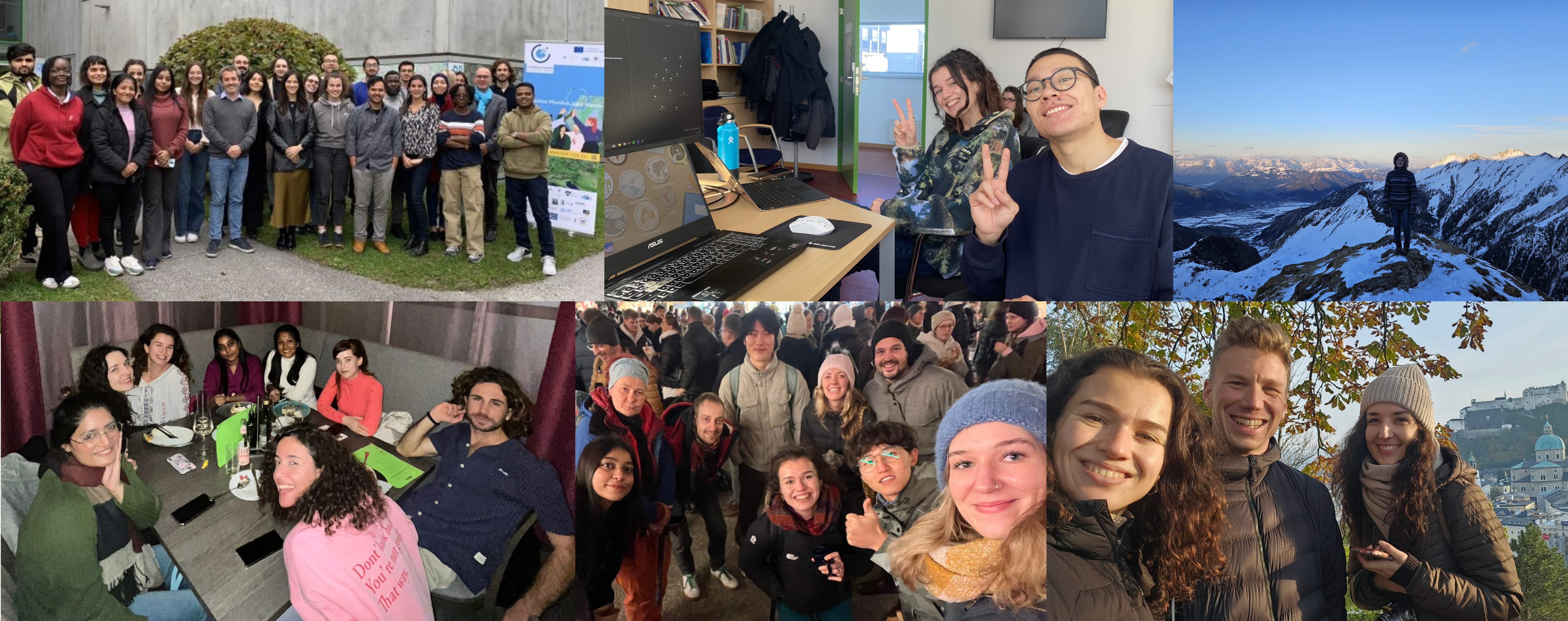
At the time of writing, I have been in Salzburg for almost 5 months and that time has truly FLOWN by. It has been busy adjusting to life in another country, as well as being a student again, but I have been thoroughly enjoying this new way of life.
So what have I been up to?
Time has been largely spent studying; I have met a lot of new concepts and ideas in the past semester, and so have had to dedicate proper brain power to truly grasp onto it all. And then, when my brain has needed a break, I would be found in the mountains (queue a Sound of Music reference!) skiing, hiking, running (10 weeks until the marathon!) and cycling in this beautiful place I get to call home for the year. In terms of soft skills, the academic experiences I have gained have greatly strengthened my project management and presenting skills, and these are both things which I am very proud of.
A brief debrief on modules taken:
During the past semester I took 9 modules which covered a broad range of topics. I will list here my main takeaways/learning points from each.
- Spatial thinking and modelling: Several different professors presented how they are applying geoinformatics in a wide range of fields, and generally we discussed ‘thinking spatially’, why this is so important, and also challenged our spatial thinking skills with interactive tasks on RIF.
- Career development: Looking to what will follow after 2 years in the CDE programme, we covered soft skills, creating startups, and heard from past students. It also gave me the nudge to create this website, which I am learning so much from developing, and having fun with too, as a relatively new coder.
-
- Geovisualisation and Advanced Cartography: Various tools within the ESRI suite were explored and I was able to further develop my understanding of cartographic principles. I also gained my first experience with web mapping; you can view the Leaflet map I made within this module here.
- Advanced Remote Sensing: This module covered image pre-processing, acquisition types, and knowledge representation. I developed a really strong understanding of how applications differ between different sensor types, as well as practical experience applying image segmentations and using synthetic aperture radar (SAR) data to assess ground deformation.
- Digital Earth: Big Earth Data Concepts: I learnt a lot here about different data cubes that exist and why they are so important for an increasingly data rich world, Copernicus services and their real world applications, gained more practical experience using Google Earth Engine (GEE) (see here ), and how analysis ready data (ARD) can be a useful thing but should also be treated with caution.
- Geohumanitarian Action: Here, I expanded my knowledge of various Geohumanitarian applications, you can read more about that here.
- Design of Geospatial Data Models: This covered business process modelling, XML, GML and other file formats. It got me thinking about the theory of GIS applications and ways in which systems can be modified to operate more efficiently.
- Object Based Image Analysis (OBIA): All things image segmentation were covered, including knowledge representation and class modelling. I spent a lot of time using the software ‘E-Cognition’ to segment images myself and identify objects within.
- German for Geoinformatics: I had been casually learning German before coming to Salzburg, so to have a structured environment for practicing speaking was so beneficial to me. It was also insightful to have a local’s insight to Austrian traditions such as Perchtenlauf!
And now looking forward!
In the next semester, I am planning to further develop my coding abilities, specifically using Python and R. Alongside this, I aim to further advance my cartographic skills using various programmes, including Blender, which will be new for me. I have a Blended Intensive Programme (BIP) in Romania next month, titled regarding quantifying vulnerability to natural hazards in changing climate patterns, and I am excited to integrate and build on my Environmental Geography knowledge from my BSc into this. Alongside university modules, I have picked out some online courses which will supplement my learning. Overall, I am aiming for as holistic an approach to my education as possible and I am excited to continue expanding my understanding of all things Geoinformatics and Earth Observation. And finally, I plan to spend as much time as is possible outside exploring Salzburg and its surrounds before moving to Czechia in September. I will check in again at some point closer to the time - thanks for reading!