Report on the Blended Intensive Programme: Quantifying vulnerability to natural hazards in changing climate patterns. New perspectives and methods in Romania
April 15, 2025
At the start of April, I attended a Blended Intensive Programme (BIP) hosted by the University of Bucharest focusing on Quantifying vulnerability to natural hazards in changing climate patterns. New perspectives and methods). The BIP comprised both a virtual and physical mobility component; this combined approach allowed for me to gain a deeper understanding of the multi-disciplinary nature of truly understanding vulnerabilities and how they can be better managed.
The Virtual Component
Over 5 weeks, weekly sessions were held covering the following topics:
- Vulnerability in the Age of the Anthropocene
- State of the climate
- Sea level changes - changes to coastal areas and adaptation methods
- Social Vulnerability in Coastal Environments
- Climatic and tectonic signals in landscape evolution of active orogens
- Changing geohazards in response to tectonic and climatic forcing
- Dynamics of geohazards and disasters in fragile coupled landscapes under changing climate
- How to increase the resilience of landscapes and communities to climate change impacts By hearing from experts across climate change, geomorphology, engineering, psychology, sociology and anthropology, I was able to gain a more holistic view on vulnerabilities.
The Mobility Component in the Vrancea seismic region
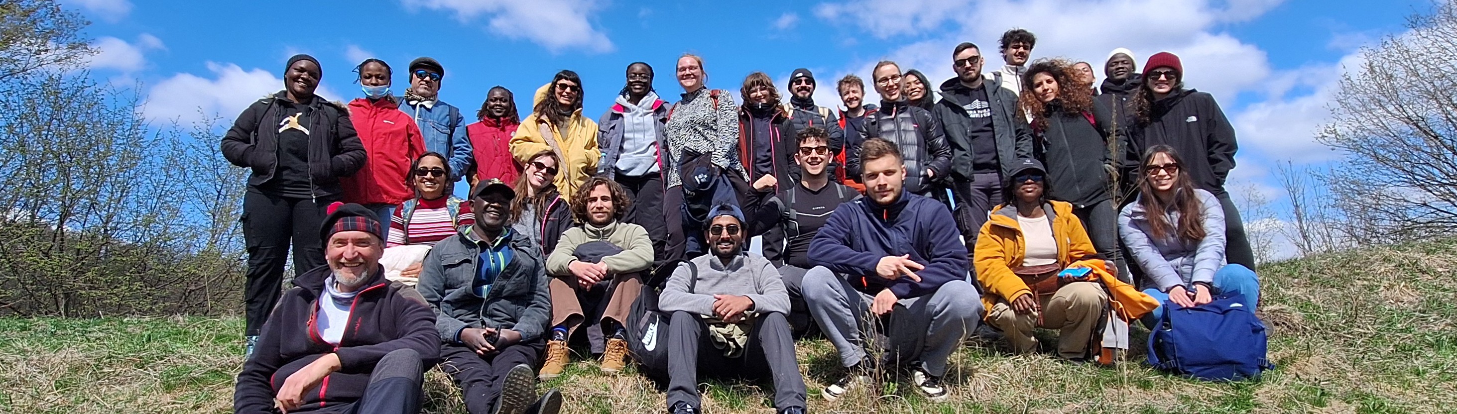
From the 7th to 11th of April, our group of 25 students from various CIVIS universities and 5 lecturers met in Romania to experience geohazard dynamics and vulnerability changes in situ. On the first day, we met in Bucharest for introductory lectures on relevant geomorphology concepts and background to the area which we would be visiting. Following this, we walked around the city observing retrofitting measures which have been installed on buildings, as well as observing where buildings have fallen into a state of disrepair and are at high risk of failure should another major earthquake occur, as the one in 1977. Following this, we drove to Pătârlagele in the Vrancea seismic region, had a traditional dinner, and a campfire where we learnt more about others in the group. On day 2, we visited a shallow landslide in the molasse sector of the Subcarpathians, observing how these features present differently within the landscape. In the afternoon, we visited a large reservoir and observed how the construction of this major infrastructure has led to significant slope instability in the vicinity. Day 3 began by visiting an earthquake-induced landslide as an example of how multi-hazard events can occur. In the afternoon, we hiked up a recent mudflow and discussed how climate-induced events can be predicted and mitigated. Day 4 started by walking around the local village and observing different styles of residential buildings, and how this can lead to a disparity in risk of vulnerability to hazards. Following this, we visited mud volcanoes and discussed how DRR can be challenging in protected areas. On the final day, in small groups, we presented our impact chains before visiting the Pătârlagele natural Hazards Research Center and learning more about their research areas before returning to Bucharest which concluded the course.
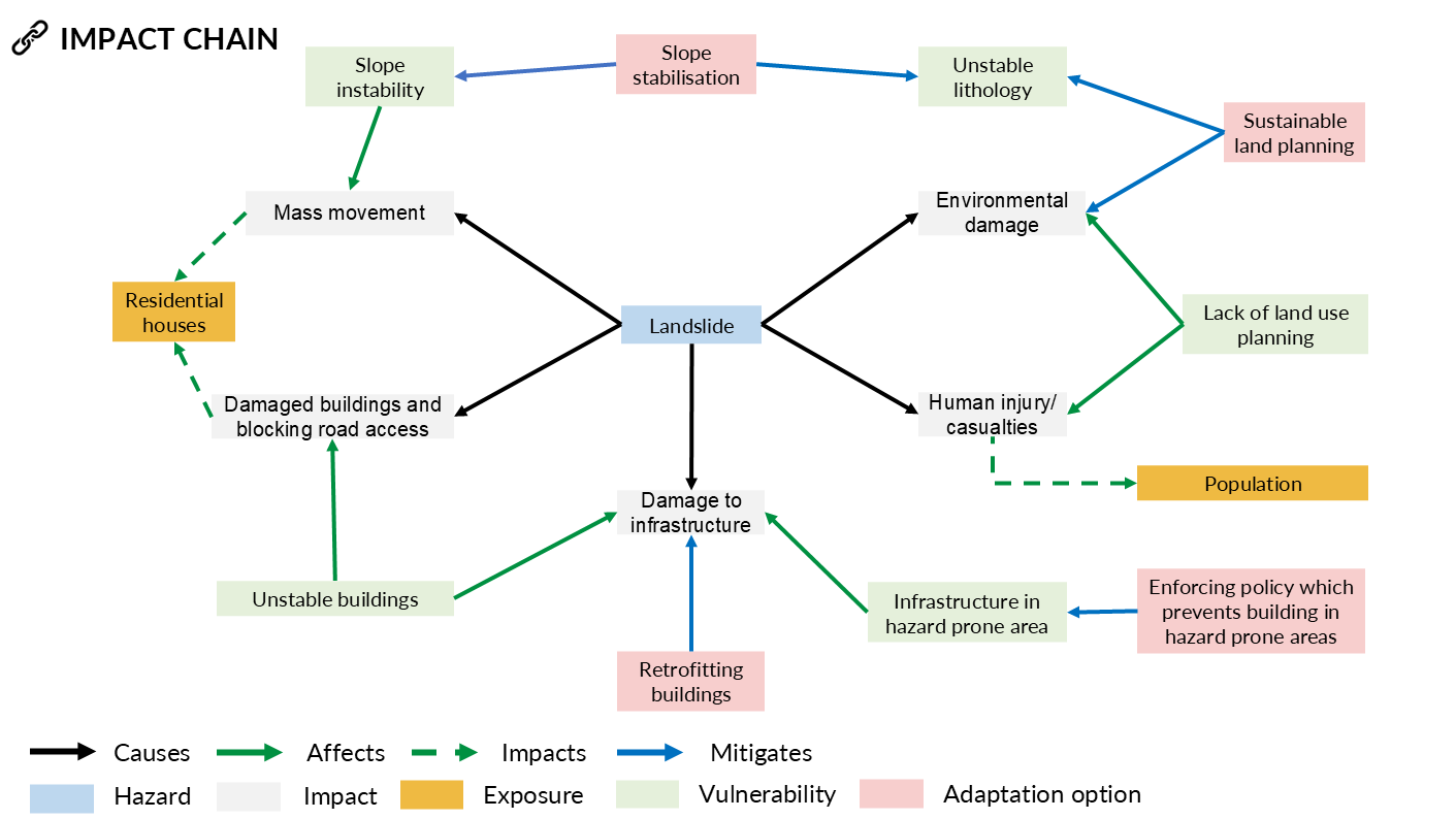
By the end of the mobility component, I had a much greater appreciation of the lithological and structural complexity which can result in hazards, and the challenges surrounding disaster risk reduction (DRR) methods. In addition to this, I gained experience constructing enhanced impact chains (EIC) and understood the chained relationship between susceptibility, hazard, impact, vulnerability, and resilience.